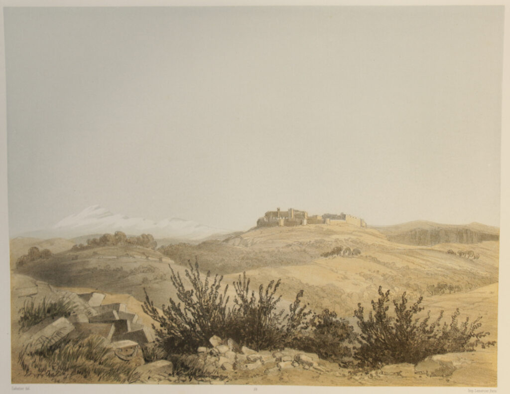
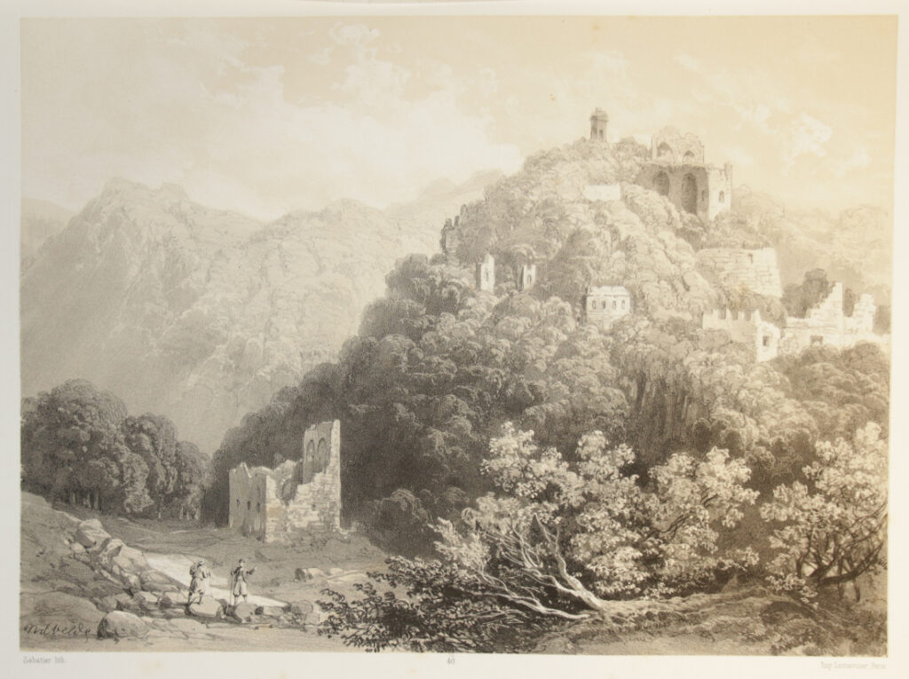
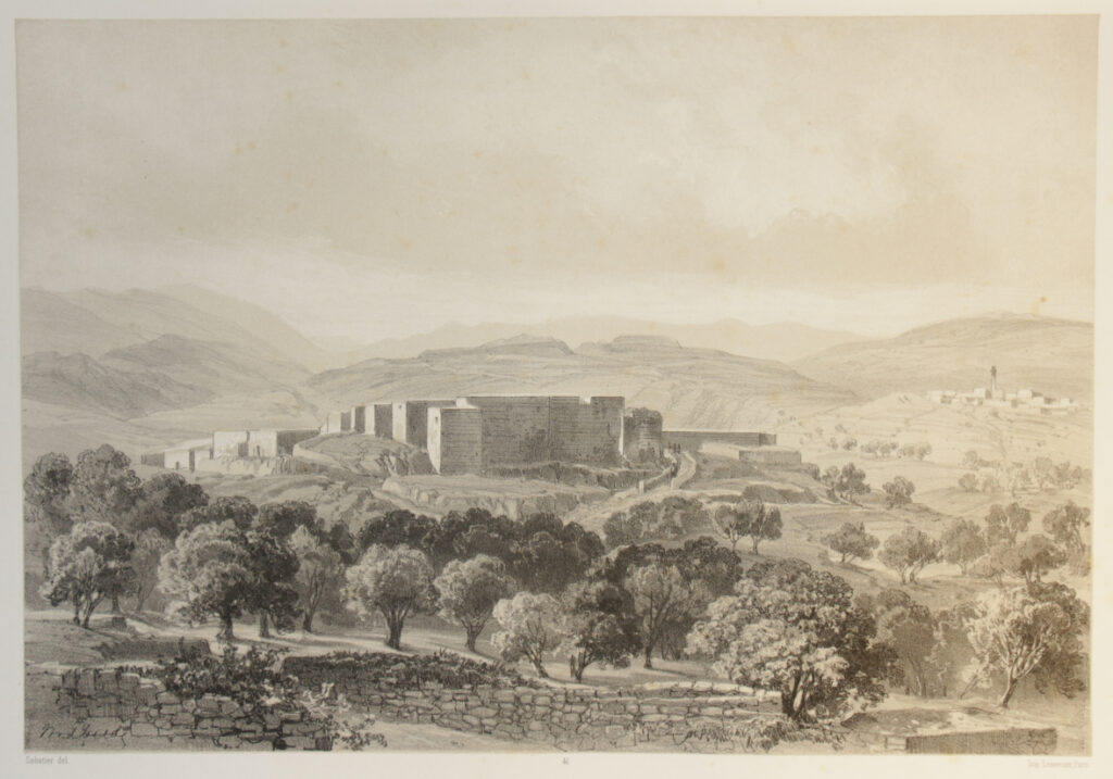
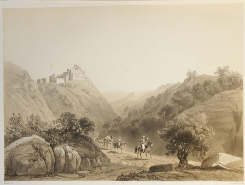
Le Pays d’Israel by C.W.M. van de Velde was published by the widow of Jules Renouard in 1857 in an edition of 300 copies.
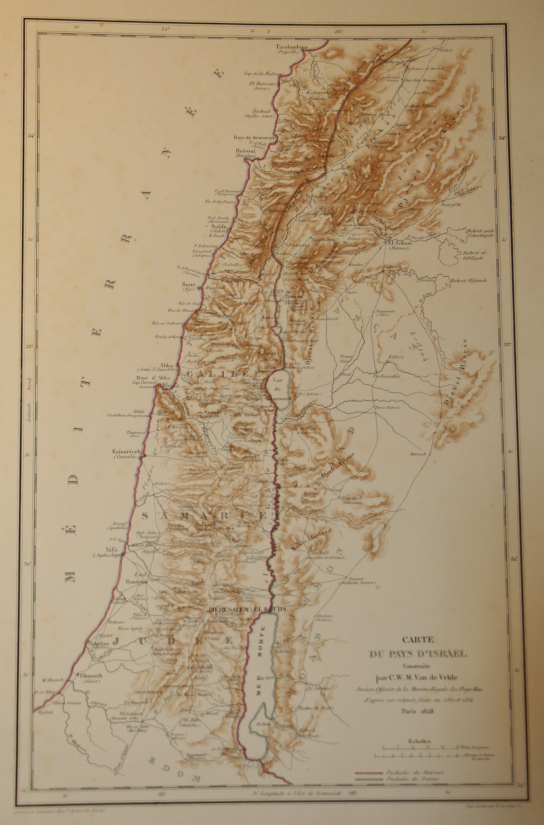
A Text volume and vol. I only of two plate volumes, folio, blue calf over cloth with gilt titles on the spines, the plate volume with 51 fine lithographs; partly tinted lithographs and partly chromolithographs. The chromolithographs printed with a limited number of colours, thus matching the tinted lithographs. The paper size of both volumes, text and plates, 580 x 405 mm. The text volume, folio, pp. viii, 9~88, illustrated with the map of Israel, describing all 100 plates for vol. I and vol. II together. The contents of the plate volume a bit shaken, however, all plates in a good to fine condition with some occasional minimal foxing. All plates shown below.
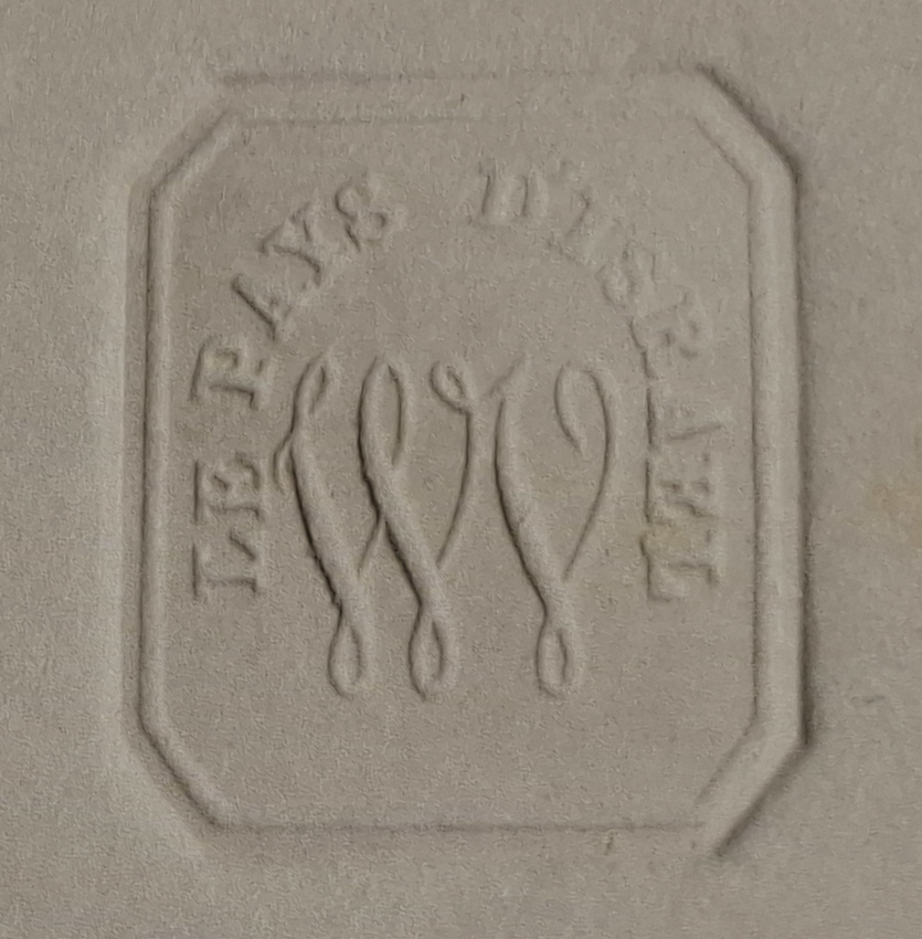
Each plate with the embossed octagonal blind stamp “LE PAYS D’ISRAEL” enclosing an intertwined “WV” monogram, apparently a special authentication stamp prepared for this edition (see detailed photo at the bottom of this page).
To date, 27th July 2026, all major auction houses as well as those dealers mentioning the stamp, describe(d) this dry stamp as “publisher’s blind stamp”, which quite obviously is not quite the correct description, as it was especially designed and manufactured for this book and for this book only.
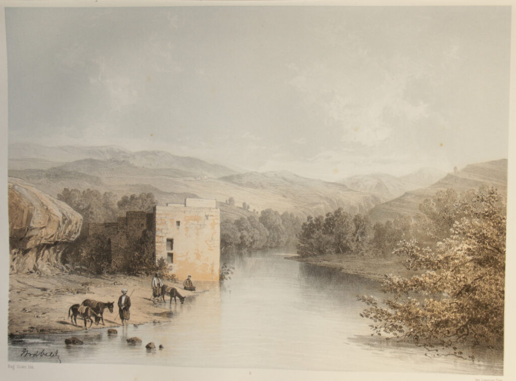
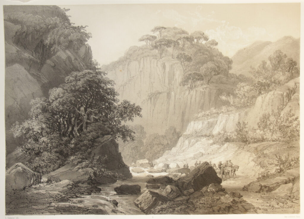
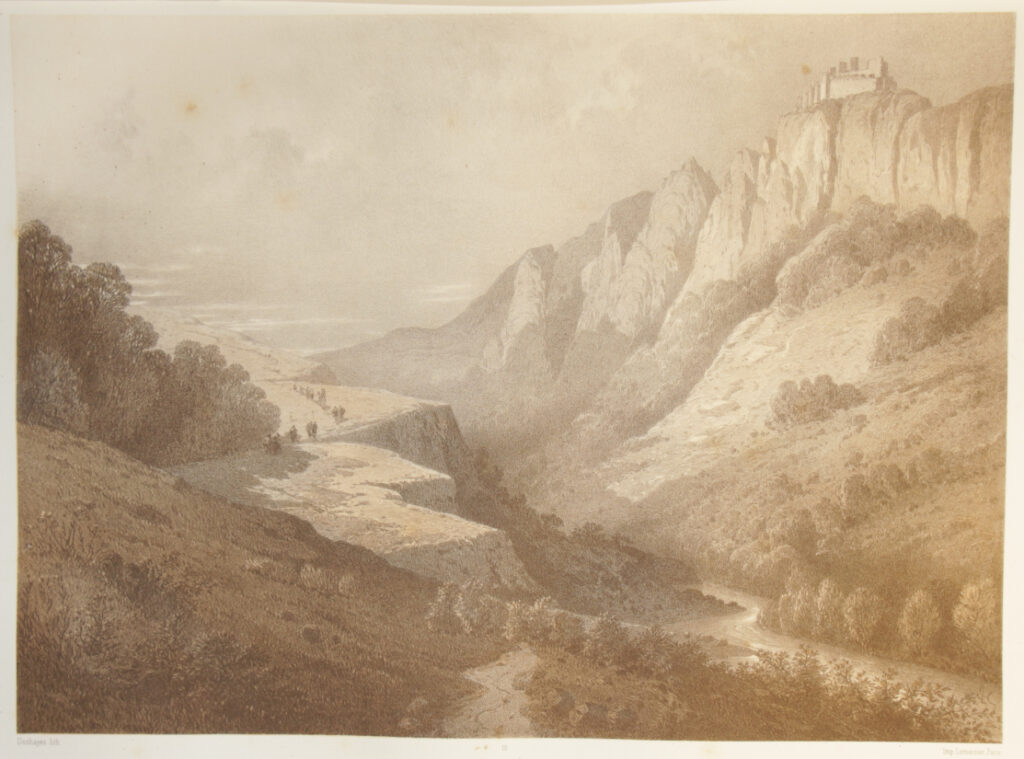
The plates in this volume were lithographed by: J. Bakof, Ph. Benoist, Eug. Cicéri, Daniaud, Deshayes, Freeman, J. Jacottet, Laurens and for an important part by L. Sabatier, sometimes signed as Sabatier only. They were printed by Lemercier, a renowned printer with regard to lithography.
The captions under the plates, followed in braces by the names of the lithographers and thereunder the text as taken from the list of plates in the text volume, read as follows:
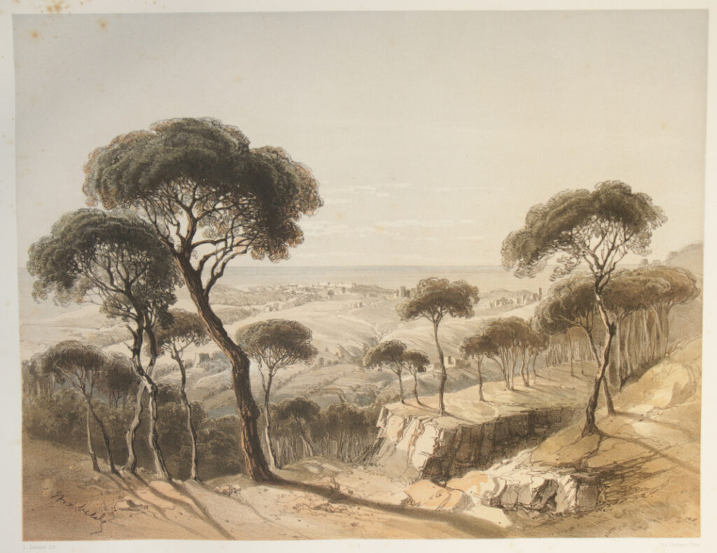
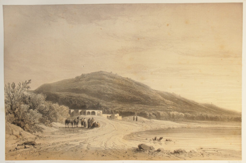
1) Beirout / vue prise de la route Schemlân {L. Sabatier}
Beirout, vue prise de la route Schemlân.
2) Le Village d’Abeyh / (Mont Liban, S.E. de Beirout.) {Eug. Cicéri}
Abey, village dans le Liban.
3) En-Neby Yunas {Sabatier}
En-Neby Yûnas.
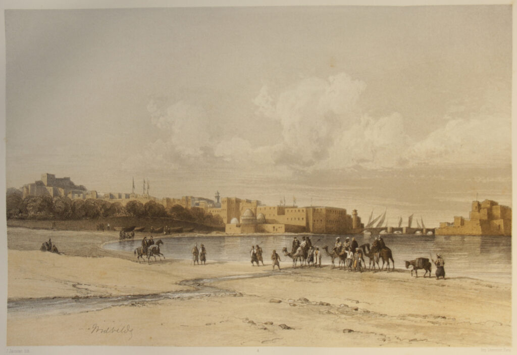
4) Saida (Sidon) / vue septentrionale. {J. Jacottet}
Saida (Sidon), vue septentrionale.
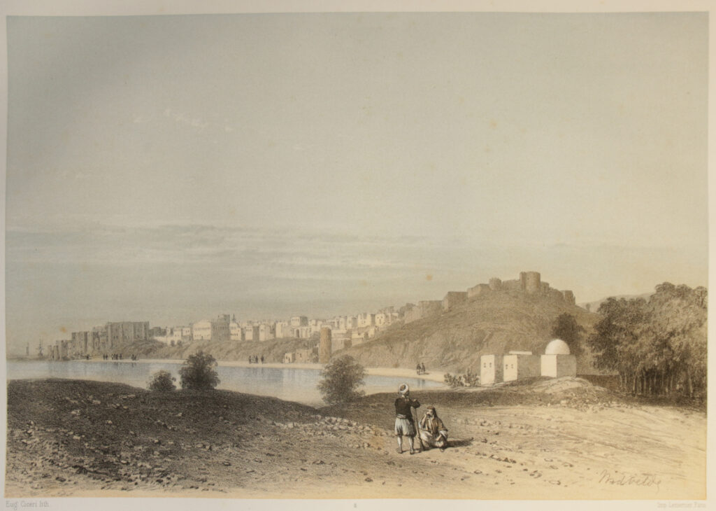
5) Sidon / vue méridionale {Eug. Cicéri}
Sidon, vue méridionale.
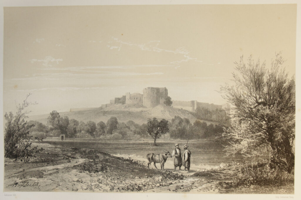
6) Chateau de Saint Louis a Sidon. {Sabatier}
Le château de Saint Louis à Sidon.
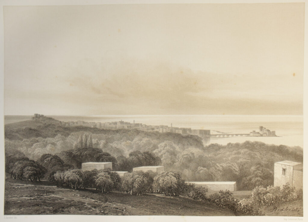
7) Sidon / vue générale prise des jardins. {J. Jacottet}
Sidon, vue générale prise des jardins.
8) Le Nahr Auwly / (le Bostrenus) {Eug. Cicéri}
Le Nahr el-Auwly (le Bostrenus).
9) Le Nahr Sanik / près de sa source {L. Sabatier}
Le Nahr Sanik près de sa source.
10) Kâlat Esch-Schekîf / (Le château Belfort des Croisés) {Deshayes}
Kalât esch-Schekîf (Belfort des Croisés).
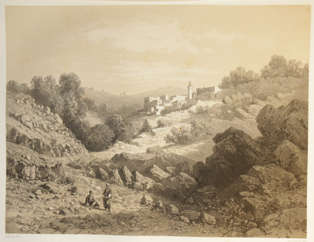
11) L’arrivée à Hasbeiya {Eug. Cicéri}
L’arrivée à Hâsbeiya.
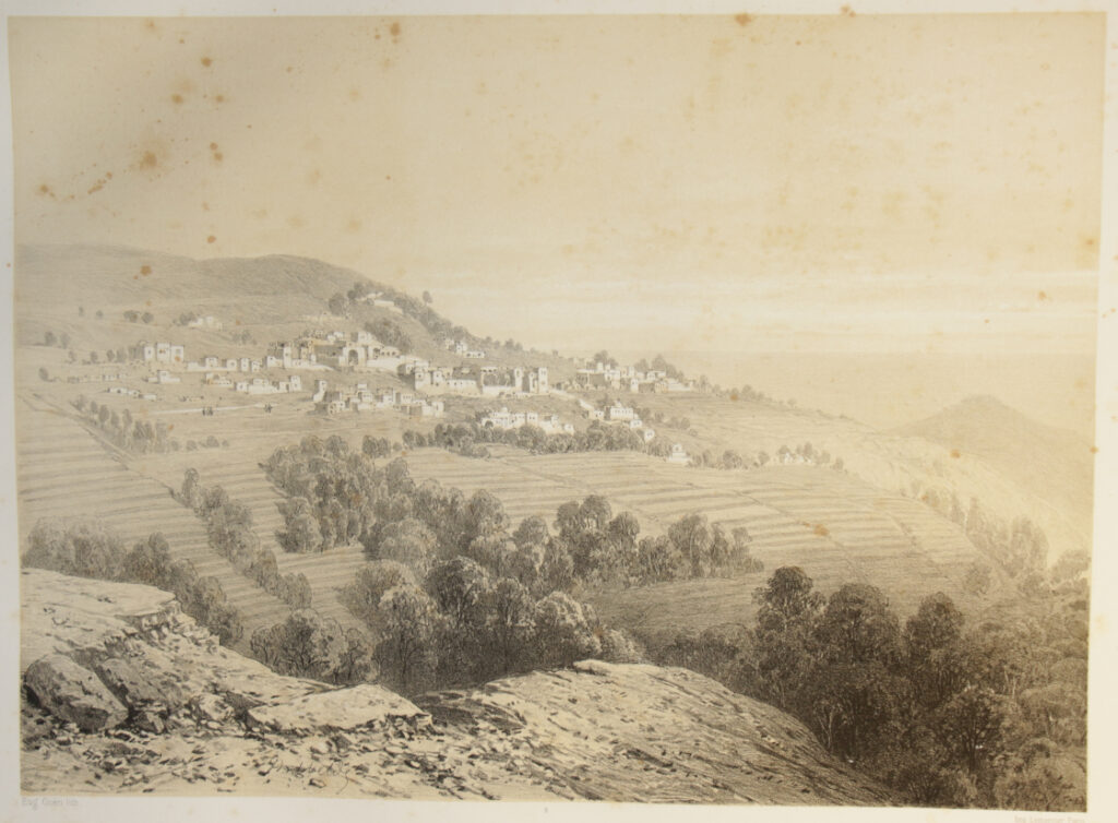
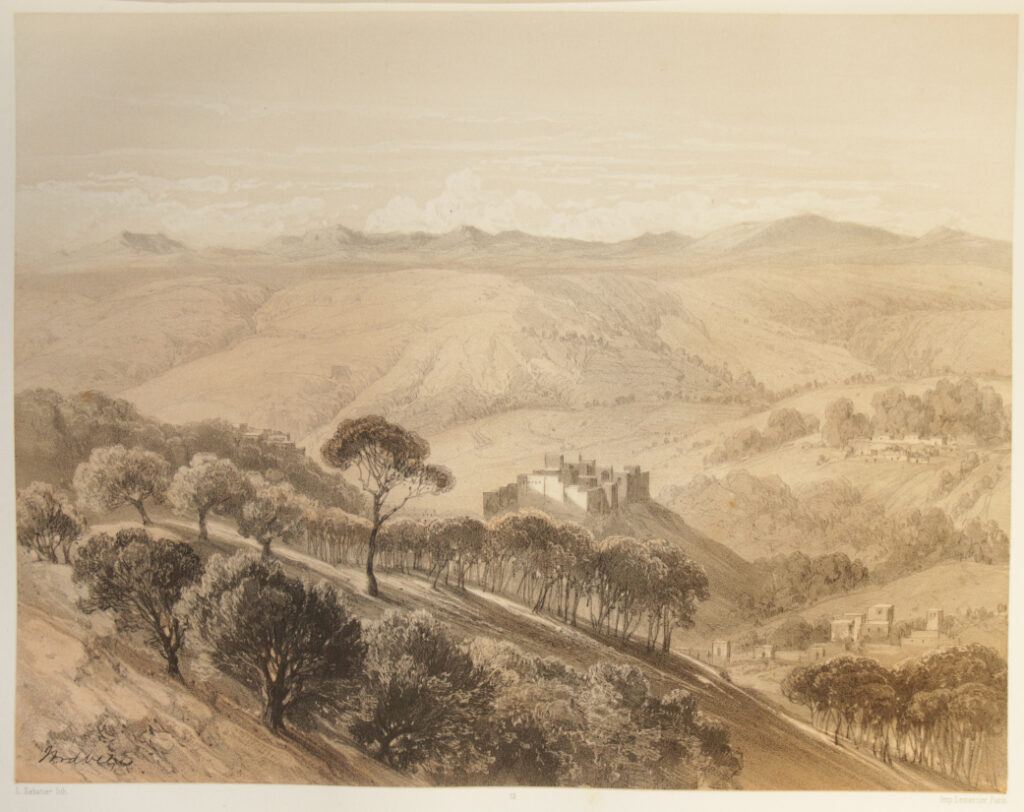
12) Hasbeiya {L. Sabatier}
Hâsbeiya.
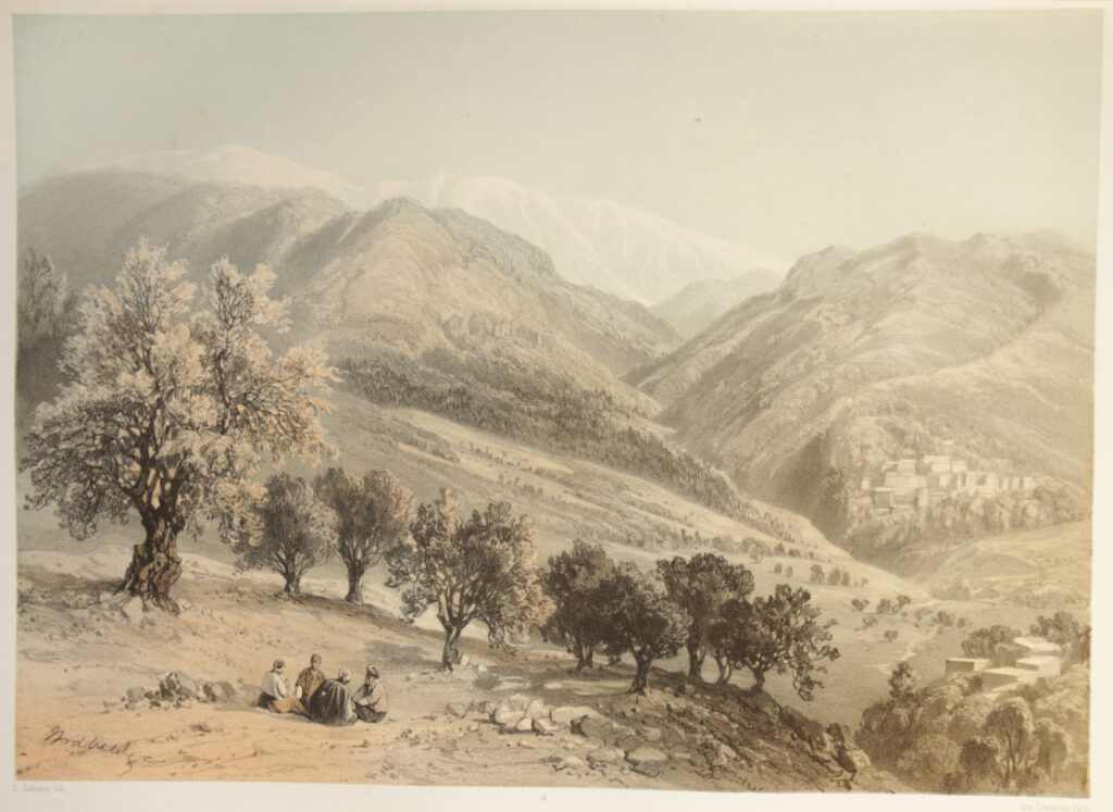
13) Le Mont Hermon / vu de Khalwet el-Bîyat {L. Sabatier}
Le Mont Hermon, vu de Khalwet el-Bîyat.
14) Le Mont Hermon / vue prise the Thelthatwa {Eug. Cicéri}
Le Mont Hermon, vue prise the Thelthatwa.
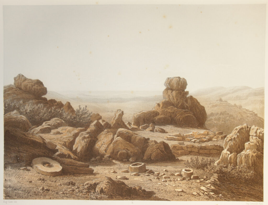
15) Site près de Schuweiya (environs de Hasbeiya) {Eug. Cicéri}
Site près de Schuweiya (environs de Hâsbeiya)
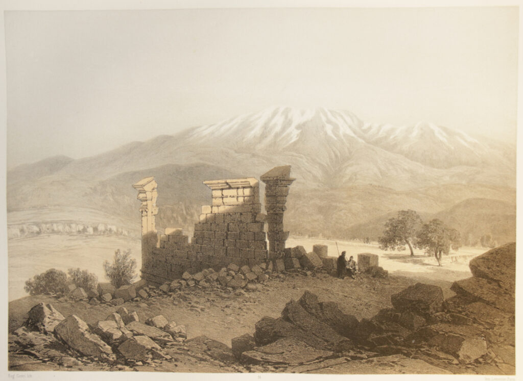
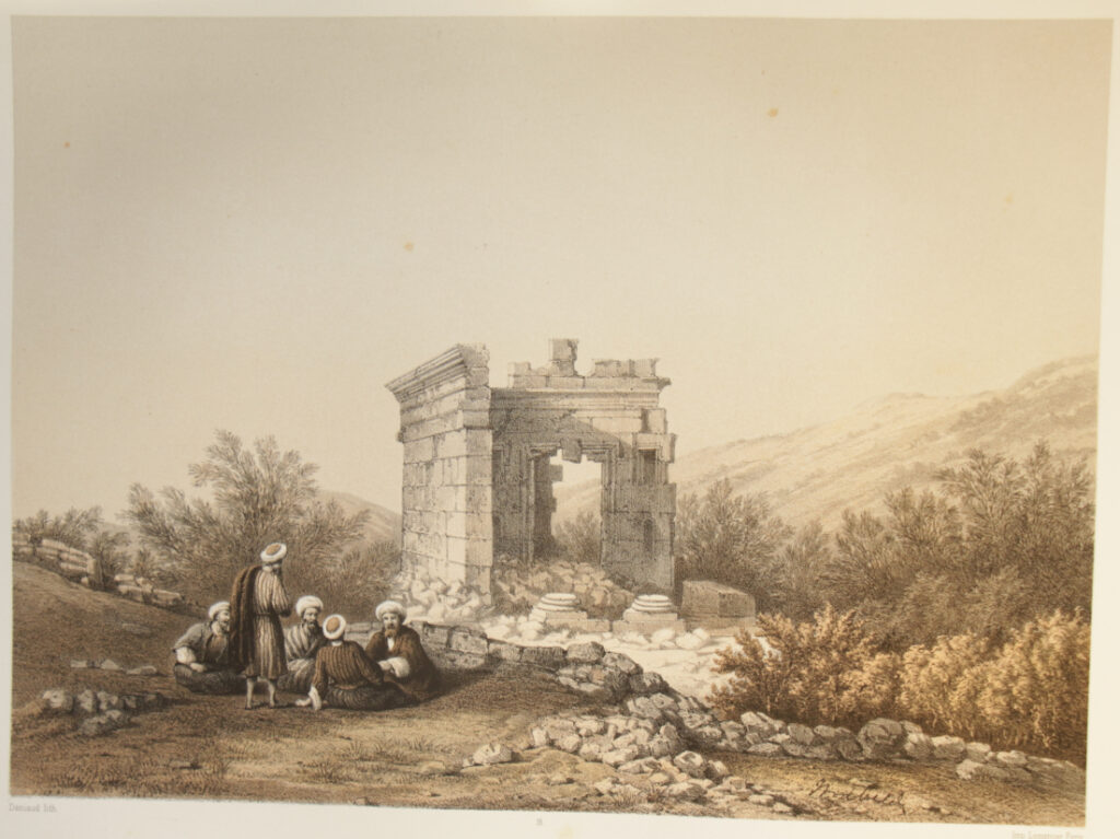
16) Ruines d’un temple à Hîbarîyeh {Daniaud}
Ruines d’un temple à Hîbarîyeh.
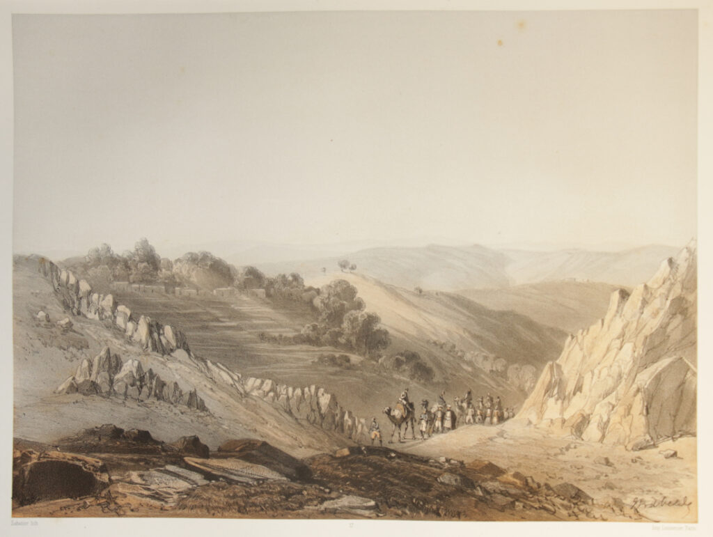
17) Kefr Hâmam / (environs de Hâsbeiya) {Sabatier}
Kefr Hamam (environs de Hâsbeiya).
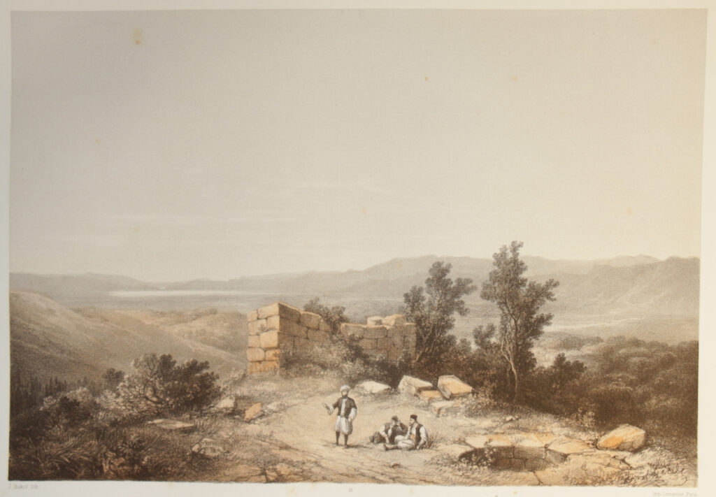
18) Kalat Aissafa / ruines près de Kefr Hamam {J. Bakof}
Kalat Aisafa, ruines près de Kefr Hamâm
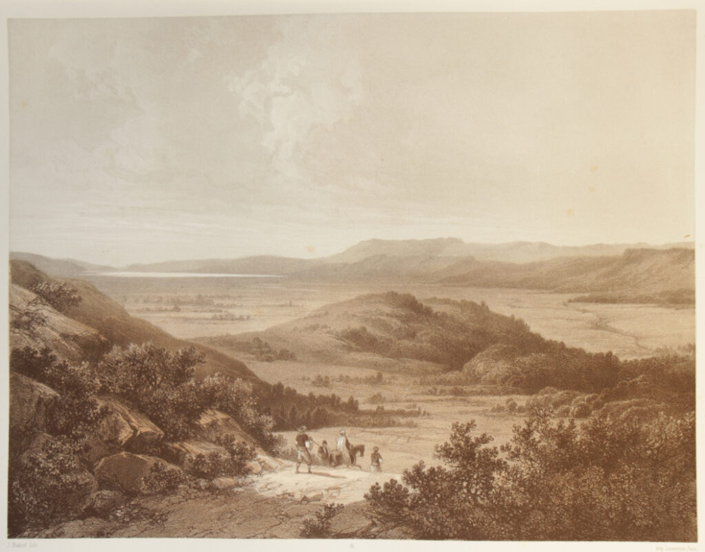
19) Le lac el Houleh / („Les eaux de Merom”) {J. Bakof}
Le lac el-Houleh (les eaux de Merom),
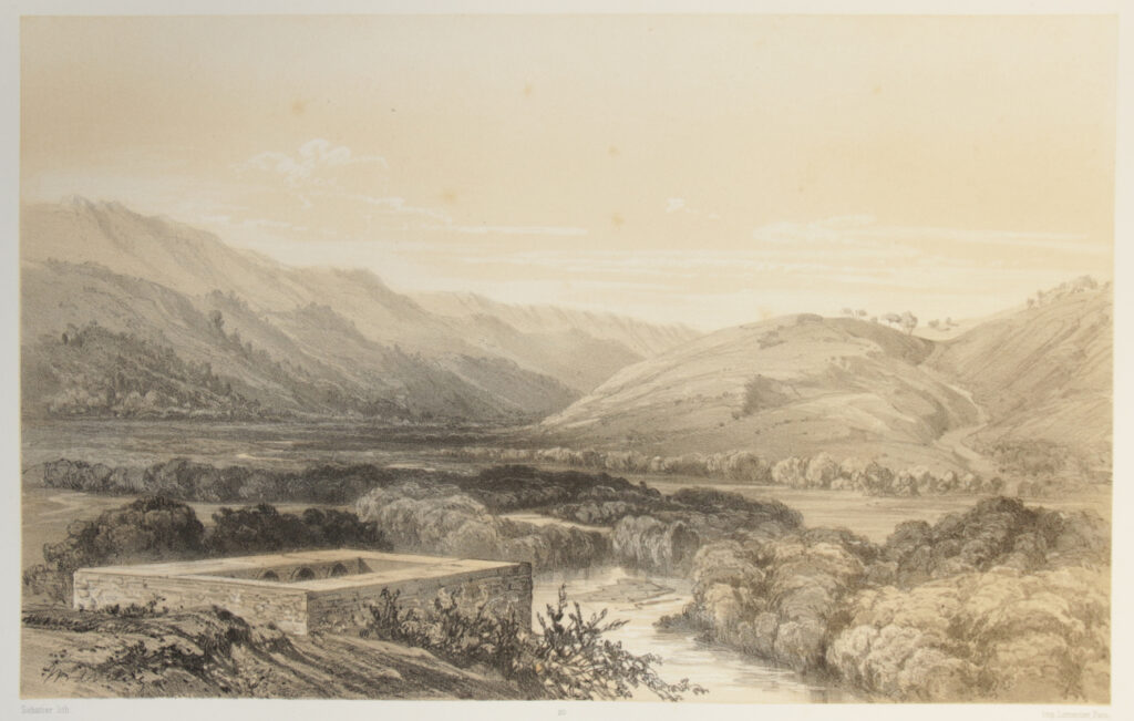
20) El-Nahr Hasbâny / (Le Jourdain supérieur.) {Sabatier}
El-Nahr Hasbâny (Le Jourdain supérieur).
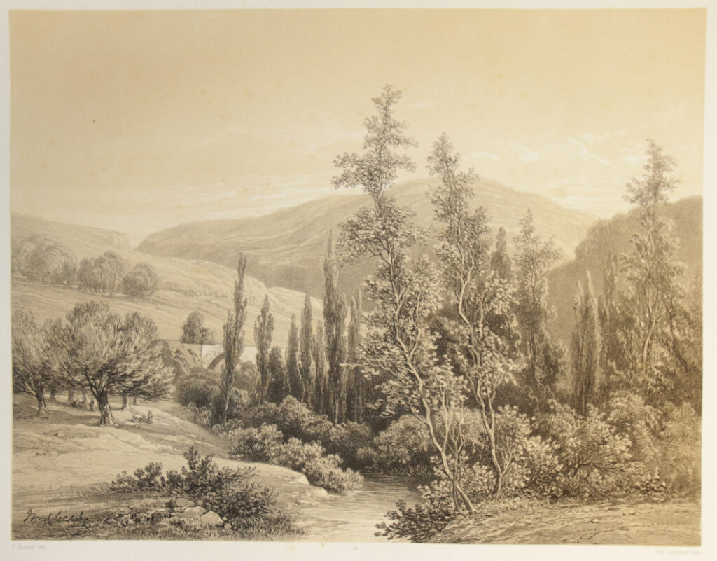
21) Le hâsbany près de sa source. {J. Jacottet}
Le hasbâny près de sa source.
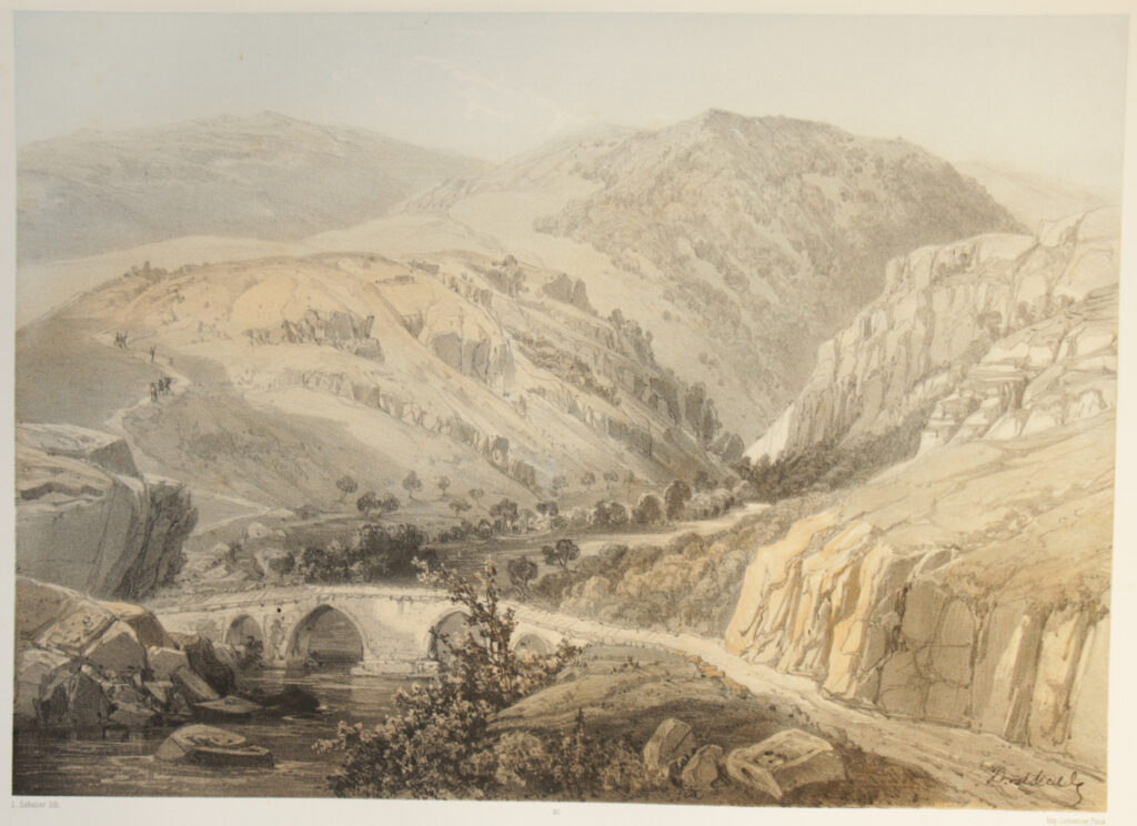
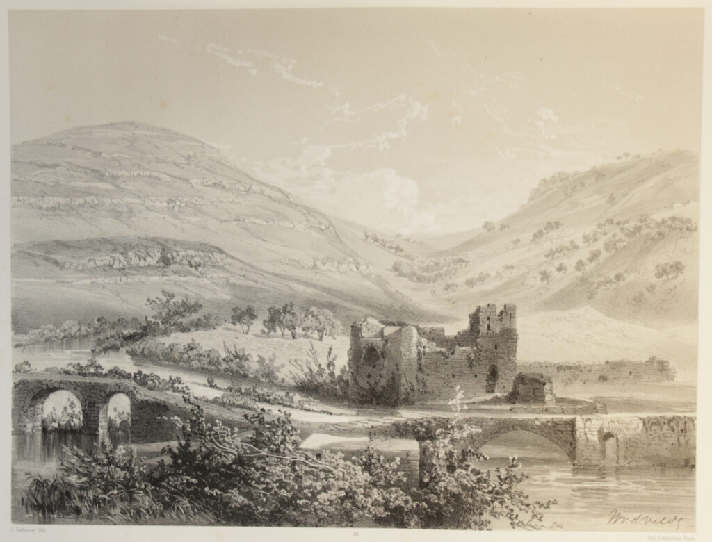
22) Djisr Burghuz / (pont sur la Litâny (Léontès.) {L. Sabatier}
Djisr-Burghuz, pont sur la Litany (Léontès).
23) Le Léontès au dessous de Burghuz. {Sabatier}
Le Léontès au-dessous de Burghuz.
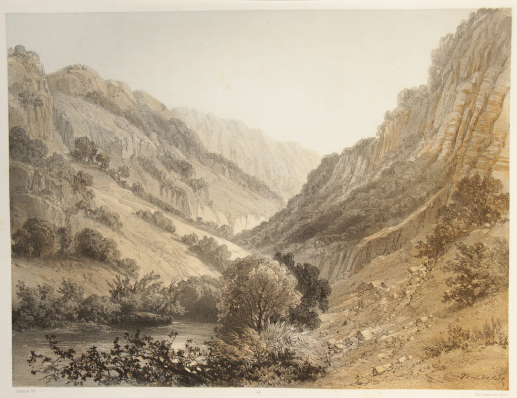
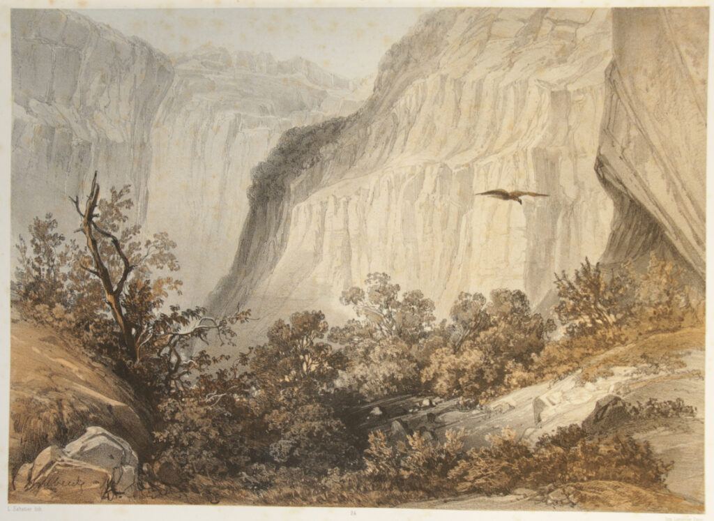
24) Ravin du Léontès près de Belât. {L. Sabatier}
Ravin du Léontès près de Belât.
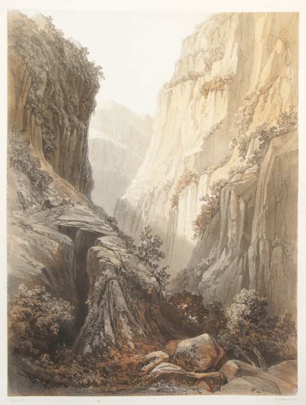
25) Gorge du Léontès près du Khatweh. {Sabatier}
Gorge du Léontès près du Khatweh.
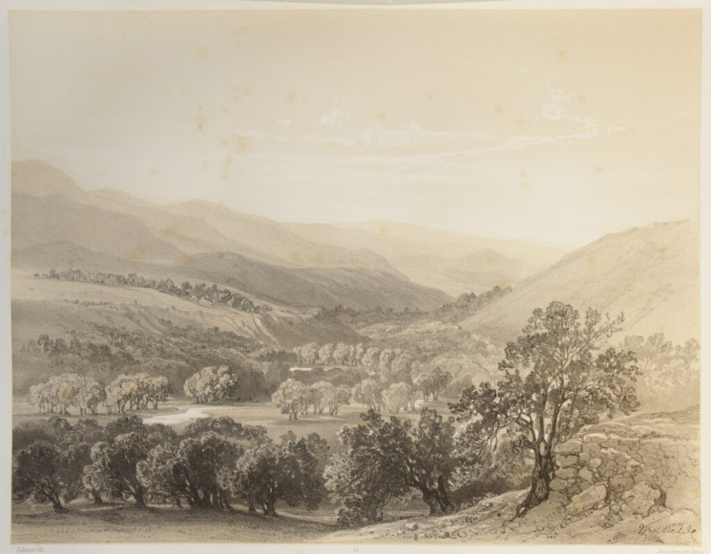
26) La vallée du Hâsbany / vue méridionale prise d’Ibl {Sabatier}
La vallée du Hasbany (vue méridionale prise d’Ibl).
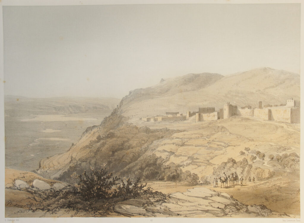
27) Kalat Hounin {L. Sabatier}
Kalât Hounîn.
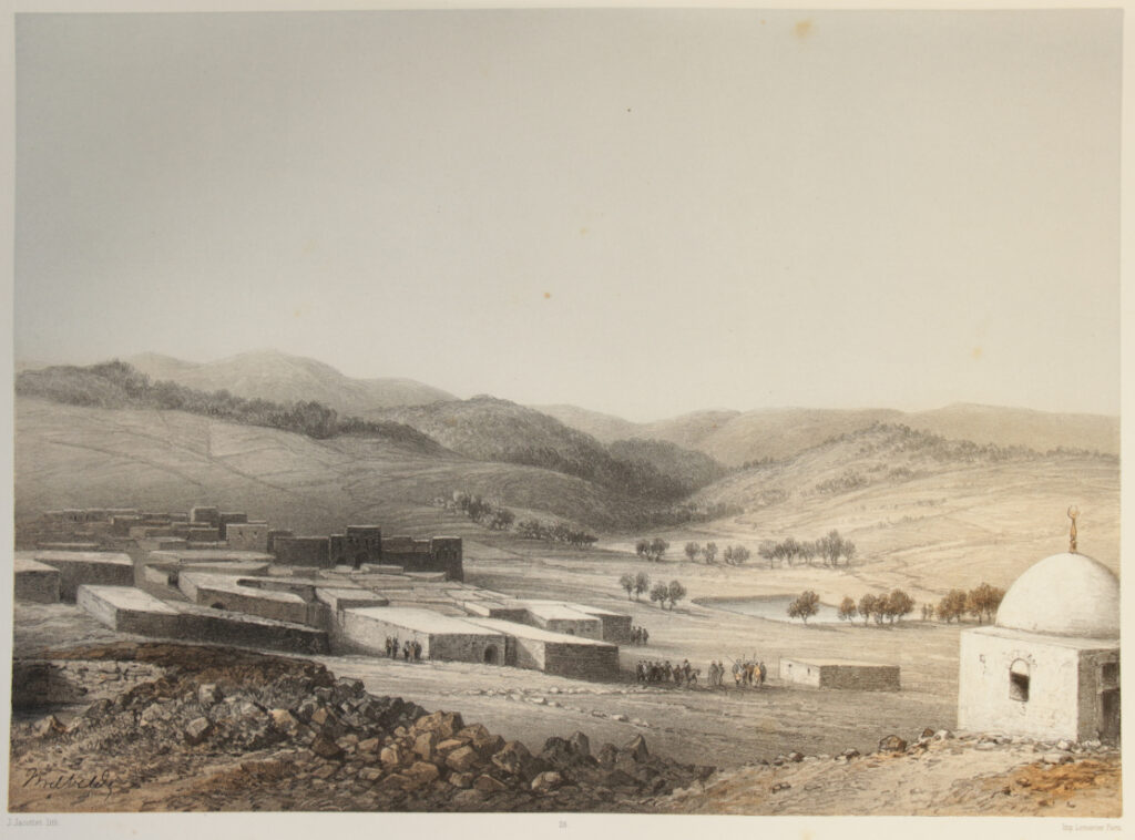
28) Bint Djebail {J. Jacottet}
Bint Djebail.
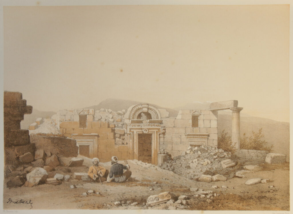
29) Ruines d’une Synagogue / à Kefr-Berim. {Ph. Benoist}
Ruines d’une Synagogue à Kefr-Berim.
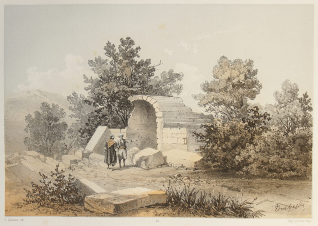
30) Ruines de Hazour ou Hazireh {L. Sabatier}
Ruines de Hazour ou Hazireh.
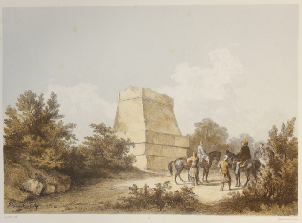
31) Kabr Hairan / (Tombeau de Hiram, Roi de Tyr.) {Laurens}
Kabr-Hairan (Tombeau de Hiram, Roi de Tyr).
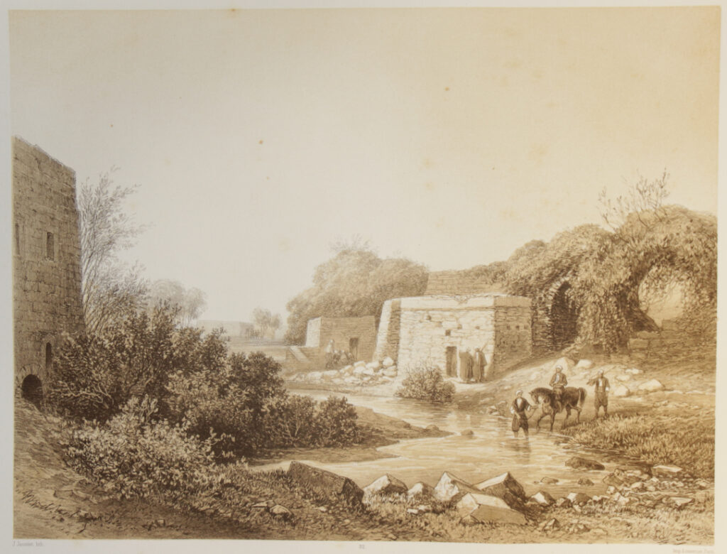
32) Ras el-Ain / (environs de Tyr.) {J. Jacottet}
Râs el-Ain, environs de Tyr,
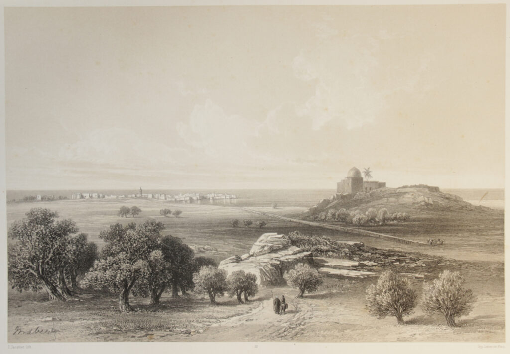
33) Sour (Tyre) / vue générale {J. Jacottet}
Sour (Tyr), vue générale.
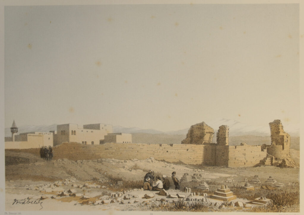
34) Ruines de Tyr / (l’ancienne Cathédrale, partie S.E. de la ville) {Ph. Benoist}
Ruines de Tyr (l’ancienne Cathédrale, partie S.E. de la ville).
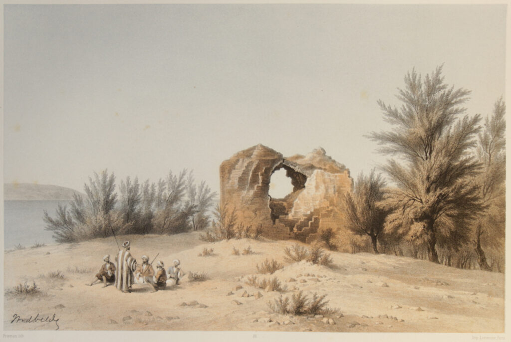
35) Ruine près de Tyr / au Sud de la ville. {Freeman}
Ruine près de Tyr (au S. de la ville).
36) Djisr Kakaïyeh / (Pont sur le Leontes.) {Sabatier}
Djisr-Kakaïyeh (pont sur le Leontes).
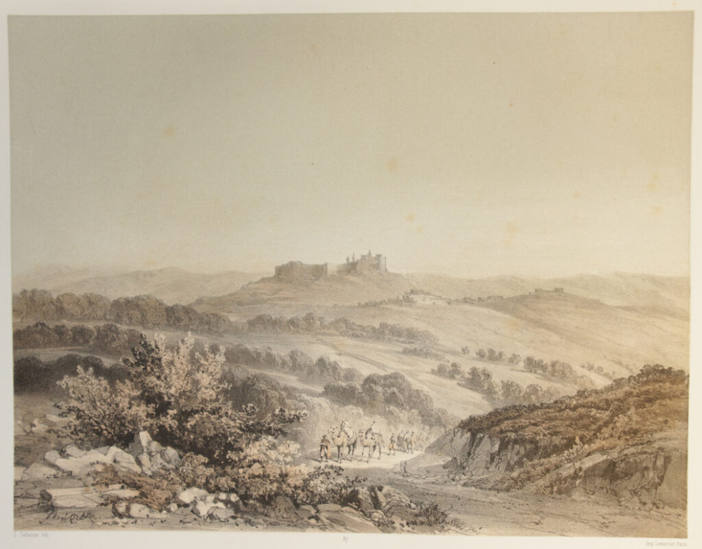
37) Kalât Tibnîn (le château Toron des Croisés) {Sabatier}
Kalât-Tibnîn (le château Toron des Croisés).
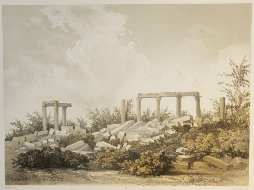
38) Ruines d’un temple à Belat / entre Tyr et Tibnîn {Sabatier}
Ruines d’un temple à Belat (entre Tyr et Tibnîn).
39) Kalat Schemma {Sabatier}
Kalât-Schemma.
40) Kalat-Karn {Sabatier}
Kalât-Karn.
41) Village de Mellia {Sabatier}
Village de Mellia.
42) Kalât Djedîn / (environs de St. Jean d’Acre.) {Sabatier}
Kalât-Djedîn (environs de Saint-Jean d’Acre).
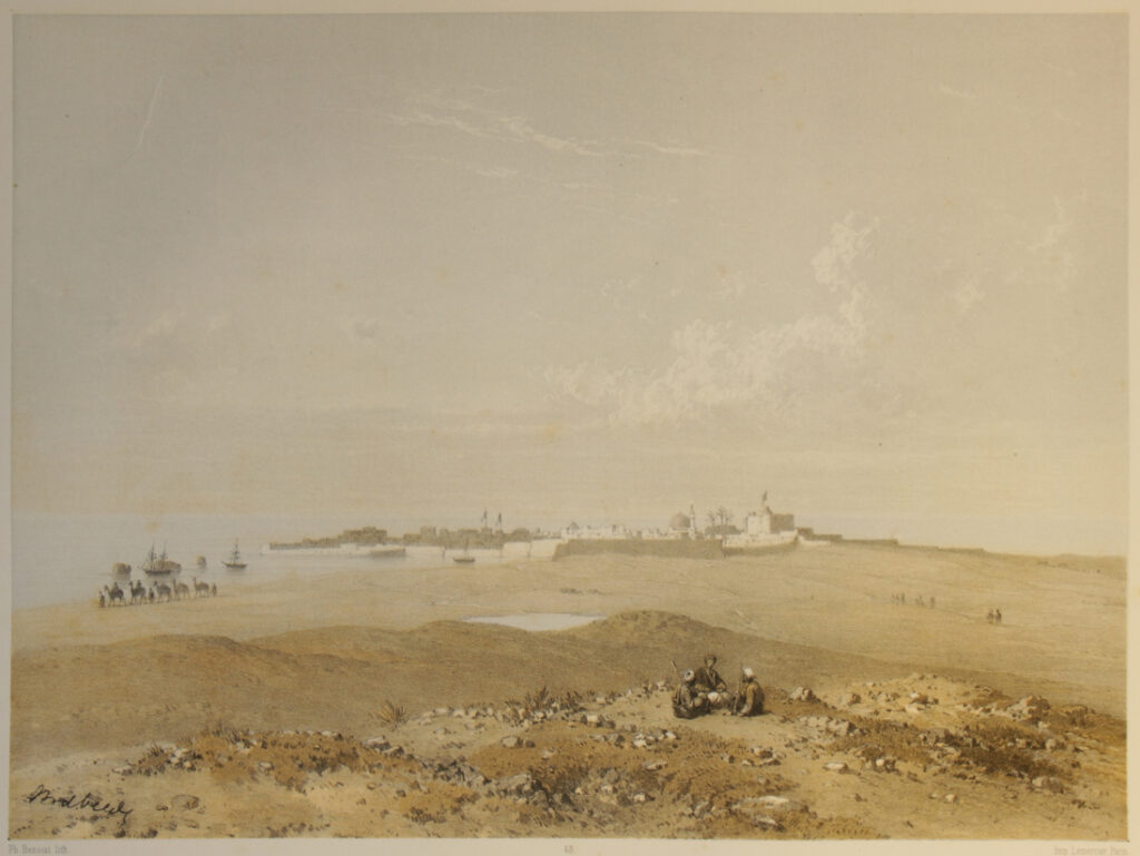
43) Akka / (Ptolemass, St. Jean d’Acre.) {Ph. Benoist}
Akka (Ptolemaïs, Saint-Jean d’Acre).
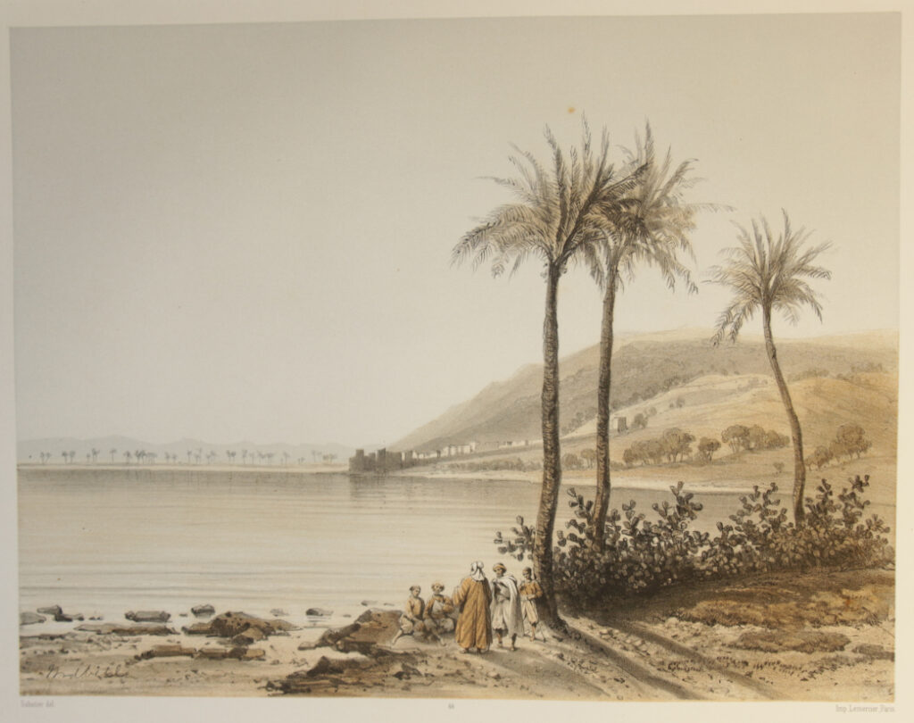
44) La ville de Khaifa, / au pied du Mont-Carmel. {Sabatier}
La ville de Khaifa, au pied du mont Carmel.
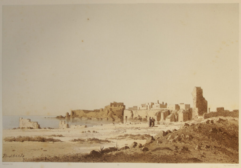
45) Athlît / Castellum Peregrinorum des Croisés {Deshayes}
Athlît (Castellum Peregrinorum des Croisés).
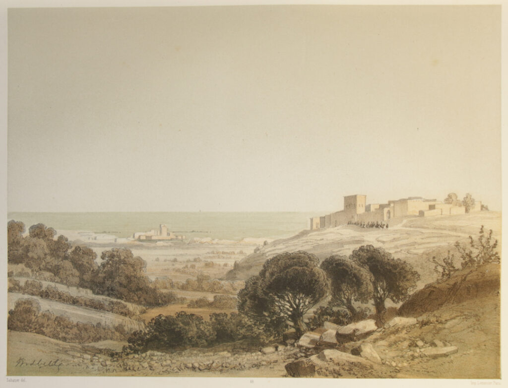
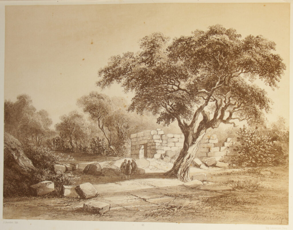
46) Ain Haud / (village au pied du Carmel.) {Sabatier}
Ain-Haud (village au pied du Carmel.
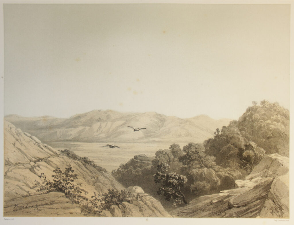
47) La Plaine de Jizréhel vue du mont Carmel. {Sabatier}
La Plaine de Jizréhel, vue du mont Carmel.
48) El Mohraka / (site du sacrifice d’Elie) {J. Jacottet}
El-Mohraka (site du sacrifice d’Élie),
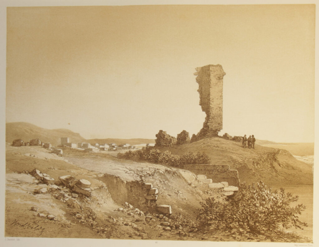
49) Ruines a Tantoura / (site de l’ancienne ville de Dor) {J. Jacottet}
Ruines à Tantoura (site de l’ancienne ville de Dor).
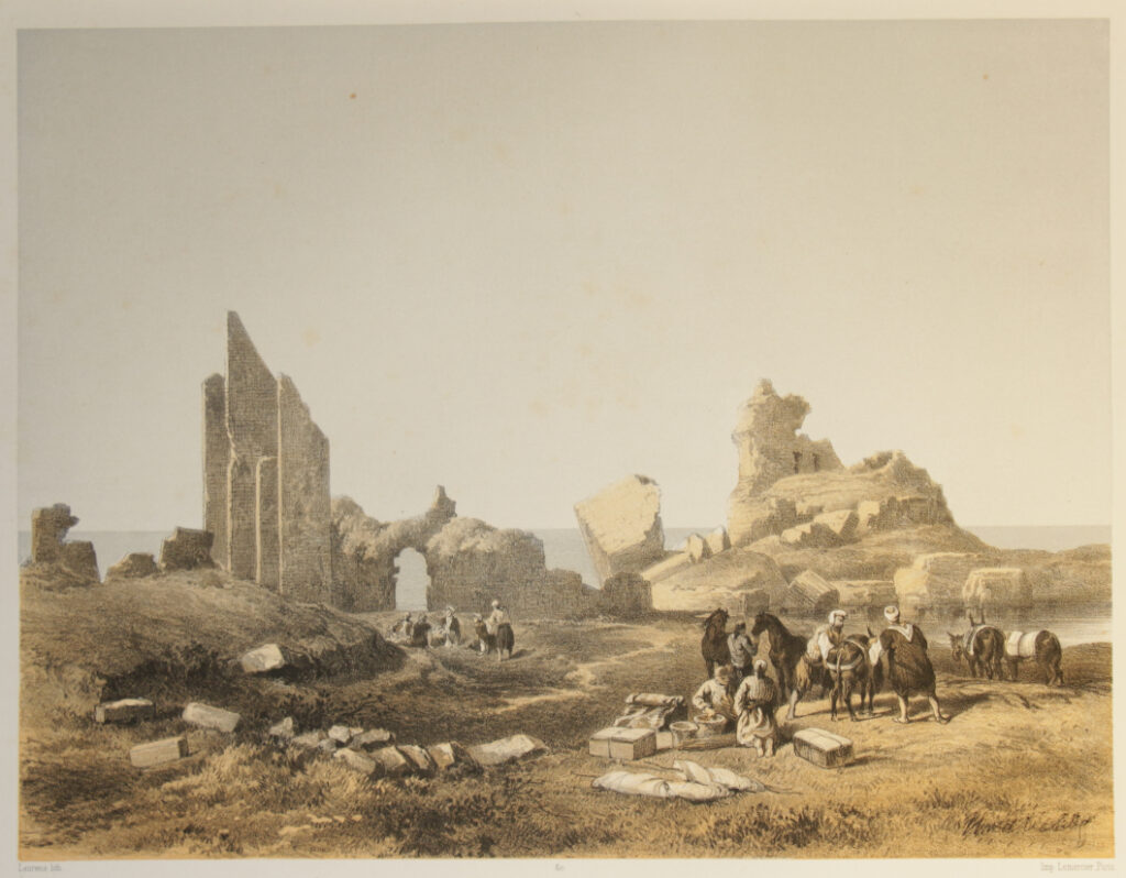
50) Ruines de Césarée {Laurens}
Ruines de Césarée.
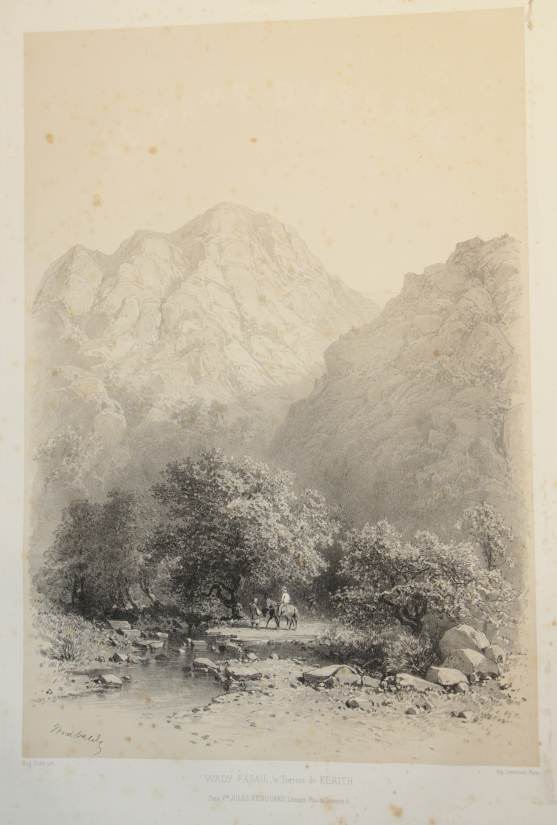
All numbers as per the index. Extra at the beginning there is a plate taken from volume 2: Wady Fasail {Eug. Cicéri}
Small differences in site names in between the captions or between captions and text in the list of plates like “Kalât-Karn” and “Kalat-Karn” or “Kalat Aissafa” and “Kalat Aisafa” have been copied meticulously. The same with the unlogical ending of a sentence in a comma instead of a point, etc., etc.
The map of Israel is dated 1858, while the title page bears the year 1857. As the work was issued in 20 installments, possibly the map only was issued after all plates had been printed.
Biblio: Blackmer 1721